
DOWA data
The Dutch Offshore Wind Atlas (DOWA) is a wind atlas covering a period of 10 years, from 2008 until and including 2017. Regional numerical weather model HARMONIE and additional satellite and aircraft measurements were used to downscale global re-analysis ERA5 to dataset of hourly information on a 2.5 by 2.5 km grid spacing and up to 600 m height. More information on the models and method that were used to make the DOWA data can be found under "Innovations in the DOWA project".
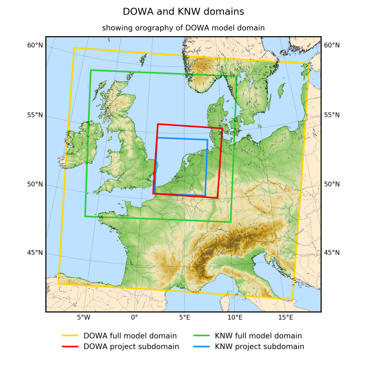
“Data info” will give you information on the domain of the atlas and the information it contains (which variables). “Data downloads” gives you all the information that you need to be able to download the DOWA 3D daily files and 10 year time series.